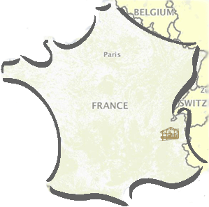
By car or public transport
By car, several accesses are possible,
either North coming from Haute-Savoie
or South from Savoy.
From the Beaufortain massif in Savoy :
From Albertville, head to Beaufort, then take road D 902 to the Cormet de Roselend and, 2 km before reaching the pass, park your car at the refuge du Plan de la Lai. Take the Beaufortain tour footpath heading North-East until you reach the pass de la Sausse at 2307 metres and then climb the Crête des Gittes before arriving at the refuge.
Rise time: 3 hours
Elevation: 600m

From Saint-Gervais in Haute-Savoie :
Drive to les Contamines Monjoie on road D902 and then to Notre-Dame de la Gorge where you can park your car. Then take the GR 5-E2 footpath up to the Nant Borrand refuge and follow the TMB (Tour du Mont-Blanc) South.
Rise time: 4h
Elevation: 1230m

By train
Take the train to Saint-Gervais and then a coach to les Contamines-Notre Dame de la gorge.
There are trains and coaches to Saint-Gervais all year long. You can then hitch-hike to Les Chapieux.


